Showing posts sorted by relevance for query transit report. Sort by date Show all posts

Wednesday, July 14, 2021

TRANSIT REPORT: San Francisco, California


(Note: Fares updated July, 2021 and face masks are required on all public transit - Ed)

San Francisco is California’s most transit oriented city. It’s the nerve center of Northern California and many regional transportation systems converge here. The city itself is served mainly by Muni (San Francisco Municipal Railroad) and BART (Bay Area Rapid Transit) with robust commuter rail service provided by CalTrain. Regional operators Golden Gate Transit and AC Transit also provide bus service into the city from points beyond. A number of ferry operators also provide commuter service across the bay into San Francisco proper. More than a dozen different operators and agencies also provide bus and rail service outside of the city to points around the bay.

MUNI - The city’s main transit provider runs a system of buses, trolleys, and cable cars.

Picture courtesy of Wikimedia
Steve Morgan under CC-BY-SA license

BUSES – Buses run just about everywhere in the city and it seems like you’re never more than a block or two from a line. There are regular fuel powered buses along with overhead wire electrified trolley buses. All vehicles in the MUNI bus fleet are now accessible. Click the following link for a route map.

Bus fares are $3, $1.25 for disabled and seniors. Transfers are free and can be used for two more trip, including returning to your original destination as long as you do it before it expires (120 minutes from original issue).

TROLLEYS – The trolley system here (not to be confused with the cable cars) runs down Market Street underground and to points beyond above ground. Historic trolleys…using restored antique trolley cars from around the world…run above ground on Market Street continuing on to Fisherman’s Wharf. All stations along Market Street are wheelchair accessible, both above and below ground. The historic streetcars are mostly accessible and stops either have ramps or embedded lifts that will raise your wheelchair up to door level when the car approaches. The T line is completely accessible, the J, K, L, M, and N lines are wheelchair accessible at designated stops only. See this link for a list and compare with this route map to see if your destination is served. If it can’t be done by trolley, chances are you can do it via the bus system.

Trolley fares are the same as the bus fares.

CABLE CARS – These are rolling historical landmarks and are not wheelchair accessible. If you do want to ride one, you’ll need to leave your chair behind. If you can walk a little bit, you can probably board. The cost is $8.

Visitors can purchase 1, 3, and 7 day passes that are good for unlimited rides on the entire system, including cable cars. The costs are $24, $36, and $46 respectively and are sold at various outlets throughout the city and the airport. Click the link to find sales locations.
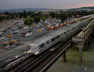


Photo courtesy of Wikimedia
Jon 'ShakataGaNai' Davis under CC-BY-SA license

BART is a heavy-rail system that works as commuter rail from points in the East Bay and the airport. It runs as a subway under Market Street. All lines converge here from Millbrae and the airport in the south and Fremont, Dublin/Pleasanton, Pittsburgh, and Richmond in the East Bay. The complete system and all stations are wheelchair accessible. Fares are distance based and vary, you can check this calculator to see how much your ride will cost. All BART fares are now paid via a Clipper Card, a one-time fee of $3 is required to buy one.

One word of concern about MUNI and BART – our experience with several of their station employees and drivers were the worst encounters we’ve ever had from transit employees that included being yelled at for a) asking a question, b) going the wrong way, and c) not knowing the name of the stop we wanted to get off at. Be prepared, they may get you where you’re going but not always with a smile.

CALTRAIN is a commuter rail line that runs along the West Bay peninsula from San Jose, and Gilroy just a little bit, to the San Francisco station just a few blocks south of Market Street. There are stations along the way in places like Santa Clara, Sunnyvale, Palo Alto, Mountain View, Redwood City, San Mateo, and South San Francisco. The passenger cars are double-deckers with wheelchairs riding on the bottom level. Each station has a wheelchair ramp built into the platform, chair users should wait on top to board the train…the conductor will deploy a ramp to get you in. Fares are distance based from a low of $3.75 one-way for one zone to a high of $15 for six zones. A day pass is available for twice the amount of a one-way ticket, disabled and senior riders pay a little less than half price.

FERRIES are operated by several companies and cruise into the city from Alameda, Oakland, Vallejo, Tiburon, and Sausalito. Fares start at $5.75 and disabled fares start at $2.75. All are wheelchair accessible.

AC Transit runs buses from Oakland and the East Bay and Golden Gate Transit from Marin County. All buses are wheelchair accessible.

A multitude of agencies run buses, trains, and ferries to other parts of the bay area that don’t come into San Francisco. For complete information about these agencies, plus the ferries and commuter buses, go to transit.511.org for complete transit information for the area.

San Francisco is one of the world’s premiere travel destinations and is very easy to see in a wheelchair. Have fun.


-Darryl
Copyright 2010 – Darryl Musick

Wednesday, January 3, 2018

TRANSIT REPORT - Los Angeles 2018


There's been some big moves in Los Angeles public transit since we last took a look.  See the updates below, in red.

UPDATE: January 2018

Does Los Angeles now have the most extensive, wheelchair accessible rail system in the USA? Let's do a little comparison (stats below do not include inter-urban commuter rail)...

New York has 651 miles of rail transit with 96 accessible stations out of 425, or a little less than 1 out of every 4.

Boston has 78 miles of rail transit with 97 accessible stations out of 133, or about 3 out of every 4.

Chicago has 102 miles of rail transit with 99 stations out of 148, or about 2 out of every 3.

Los Angeles has 105 miles of rail transit with 93 stations, all accessible. Plus, there is another rapid bus line that runs just like rail transit on it's own right of way for 18 miles with 29 accessible stations.

Maybe New York can make the claim but, otherwise, it sure looks like L.A. has the most extensive, accessible system.

Since our last update, the Expo Line has opened up connecting downtown Los Angeles with the beach at Santa Monica. This is the second line that has connected to an oceanfront area as the Blue Line connects to Long Beach. Soon, the Crenshaw Line will open up, making a connection between the Expo and Green Lines, with a connection to a new people mover to Los Angeles International Airport finally making rail service into LAX a reality and construction just started on another 12 mile extension to the Gold Line that will take it to the edge of San Bernardino County in Montclair.

Angels Flight is back in service with a dollar fare (50 cents for TAP card holders).

UPDATED: March 2016 - see red section, below.


Watch the Video!


Just a touch over six years ago, we wrote the following on the last day of operation for the old El Monte bus station:

This week marked the end of the original El Monte Bus Station.  Built in 1973 and looking like a flying saucer, it was the first modern public transit structure to be built since the end of the trolley days here in Southern California.  It anchored the El Monte - Los Angeles busway...a dedicated lane for buses along Interstate 10.  Riders came here and used it much like a subway station to catch express buses into Los Angeles, bypassing the traffic jams on the San Bernardino Freeway.

The station is set to be demolished and replaced with a new station, opening next year.

(See photo of the new station, below)


The station is round and has its own roadway onto the busway.  Riders entered from below and used stairs, an escalator, or an elevator to get to the upper level.  Originally, there were 10 berth were buses could pickup and discharge passengers.  This was later reduced to 8 when Foothill Transit started the Silver Streak line, using longer articulated buses that needed longer platforms.  The final nail in the coffin was Metro's introduction of the Silver Line, which also used buses that were longer than the platform.


The upper level consisted mainly of walkways that increasingly got crowded.  The lower level had a big plaza that was pretty much unused.  


Greyhound had a ticket office on the lonely lower level.


September 12, 2010, marked the last day of operations here.  One of the last Silver Line buses awaits departure.


UPDATE: Sunday, October 14, 2012, marked the debut of the new El Monte Bus Station. Certified LEED for energy efficiency, the new station loads buses on two levels and increases daily passenger capacity from 22,000 to 40,000...now they need to work on getting parking space for those 40,000 passengers. 

The station is the main point for Silver express service to downtown Los Angeles and beyond.  New is the fare sharing for both of the Silvers...Foothill Transit's Silver Streak and Metro's Silver Line will both use the same fare, $2.45. Either lines passes will also be honored on the other. 

Note for handicapped passengers: Foothill does not have disabled discounts during rush hours...use the Silver Line instead if you want to use a discount.


If you’re in a wheelchair, and heading to Los Angeles, your transit options got a big boost last fall. The Silver Line express bus service incorporates accessible buses that travel, for the most part, on their own dedicated roadways along the center of the 10 and 110 freeways, from the El Monte Station to Torrance. The line leaves the busways in downtown Los Angeles for several local street stops including Union Station (home to several rail lines), 7th Street Station (start of the LA-Long Beach Blue Line light rail), Staples Center, Disney Hall, Grand Central Market, and more. Full fare is $2.45. Disabled discounts are available but Metro has been criticized lately for ignoring disabled passengers needs, such as securing wheelchairs with tie-downs.


MARCH 15, 2010 UPDATE:  L.A.'s oldest public transportation, Angel's Flight, resumed service on March 15, 2010.  It was originally built in 1901, the little orange funicular tranported residents of Bunker Hill down to the shops of Downtown Los Angeles.  It was removed in 1969 when Bunker Hill was redeveloped into high-rise office buildings and put in storage.  It opened again in 1996 just south of the original site, at the back entrance to the Grand Central Market and now connects the market to the Water Court on top of Bunker Hill.  A fatal accident closed it again in 2001.  Since then, reconstruction has replaced what was faulty back then and 9 years later, here we are again.  One car is accessible.  Cost is a quarter each way.

March 2014 UPDATE: Again, Angel's Flight is down. one car derailed last fall and extremely shoddy maintenance and operation practices were revealed, including staff taking a branch from a nearby tree and disabling the emergency stop with it. Repairs have been made and the funicular is in testing mode now but not currently open.
The similarly named and routed Silver Streak runs basically the same route from the El Monte Station to downtown where it terminates. However, the Silver Streak…run not by Metro but by Foothill Transit instead…starts in Montclair, about 30 miles east of El Monte. The Silver Streak uses 60 passenger articulating, low-floor buses with two wheelchair anchor points on each coach. Foothill is usually a little nicer with cleaner coaches and less crowding. Full fare is $2.50 and no disabled discounts are given during rush hours.


In November, the Gold Line light rail line was extended from Union Station to the eastern edge of East LA. You now have a one-ride option from the east side of Pasadena through to East LA. Several nice areas can be accessed through this line…Old Town Pasadena, Pasadena City College, South Pasadena, downtown Highland Park, Chinatown, Union Station (with Olvera Street and Phillipe’s adjacent), Little Tokyo, Mariachi Plaza, and the many fine Mexican restaurants of East LA.


The Expo Line is now open on its first segment from downtown to Culver City, going by USC and Exposition Park along the way. The next phase of the Gold Line, extending it from Pasadena to Azusa, broke ground in June (personal note, back when Tim was on the radio he got to interview the CEO of the Gold Line Foothill extension who was none to pleased with the MTA's foot-dragging in building this line).

The Gold Line Extension is now open, going east to Glendora at Citrus College with stations in Arcadia, Monrovia, Duarte, Irwindale, and Azusa in between.

On May 20, the Expo Line will open its next segment terminating at Santa Monica Pier (the western terminus of Route 66) marking the first light rail or subway line to reach the beach in the modern era.


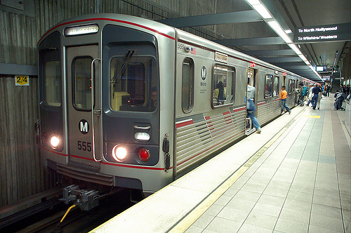
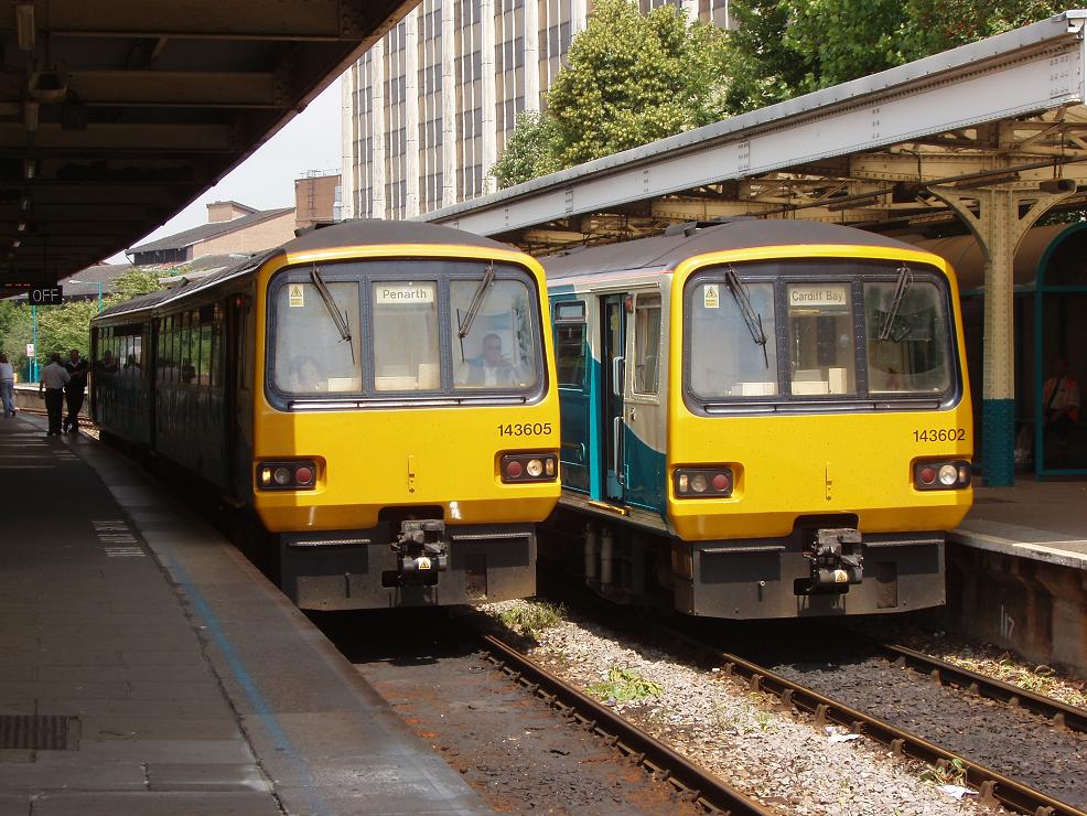
These join the existing Red Line subway… going from Union Station to North Hollywood via Hollywood and Universal Studios, the Purple Line subway…Union Station to Wilshire Bl. and Western Ave. (home of the Wiltern Theater), the Blue Line light rail…from downtown to Long Beach, the Orange Line busway…running from Woodland Hills to the North Hollywood Red Line terminus (note: the Orange Line has been extended to Chatsworth), and the Green Line light rail running from Norwalk to Redondo Beach via the median of the 105 freeway.

Metrolink also runs several commuter rail lines converging on Union Station from San Bernardino, Oxnard, Oceanside, Riverside, and Palmdale.  Metrolink has had its issues too, but in general, they are very accessible and responsive to wheelchair needs.


All of Los Angeles' rail lines, stations, and bus lines are wheelchair accessible.

Next time you visit, try some of the areas transportation options.  LA’s still not a transit paradise but we’re taking baby steps out of the car and onto the rails. 


Darryl

Copyright 2009 - Darryl Musick
Pictures courtesy of Wikimedia Commons
The Port of Authority
Alossic under CC-BY license
Foothill Transit under CC-SA license
Justin N under CC-SA license


Friday, September 28, 2012

TRANSIT REPORT: Sacramento, California 2012

Picture courtesy of Wikimedia
mav under CC-BY-SA license


The capitol of the Golden State has a fairly decent system.  When in the area, especially on weekdays, you'll want to take advatage of it as the traffic here can be pretty unbearable at times.

Sacramento Regional Transit - or the RT - runs a network of buses and 37.5 miles of light rail covering a 418 square mile service area but for some reason does not serve the airport (Yolobus provides this service).
Picture courtesy of Wikimedia
lensovet under CC-BY-SA license

Light Rail consists of three lines, the Blue, Gold, and Green.  In practice, it's kind of like four lines because the Blue line goes both north and south of the downtown area so it's like a line to the north and a line to the south.  To the north, the Blue line's terminus is the Watt/I-80 station near McClellan Field (formerly Air Force Base).  The south end of the line is at Meadowview Road, about 4 miles south of downtown.  The Gold Line comes in from the east.  It starts in Folsom and continues past downtown to the Amtrak station, connecting with the Capitol Corridor train.  The Green Line runs from 7th and Richards, north of downtown, to the 13th Street Station downtown.  All light rail lines converge in a transit plaza two blocks west of the Capitol Building.  Here is the system map.
Picture courtesy of Wikimedia
Griffin5 at en.wikipedia under CC-BY-SA license

Buses handle the rest of the area and are useful to get to Old Sacramento, Raley Field, and ARCO Arena.  Here is the system map.

The basic fare for both bus and light rail is $2.50 for adults and $6 for a day pass.  Persons with disabilities get half off both of those fares.

Yolobus - As noted above, if you're flying into Sacramento, this is your only transit option.  The cost is $2.
Picture courtesy of Wikimedia
Todd Evans under CC-BY-SA license

The Capitol Corridor is a commuter rail service provided by Amtrak.  It connects downtown Sacramento with Auburn and Roseville to the Northeast and the Bay Area to the west with the terminus in San Jose.  The service from San Jose runs via Fremont, Hayward, Oakland, Martinez, Fairfield, and Davis.  Fares vary according to distance.  Check the website for more details.

All the above transit options are 100% wheelchair accessible.


We've personally found the transit in Sacramento to be a great way to go, especially during the week.  If you're there on the weekend and have a car, you might want to use that instead but transit will still keep you connected if you don't.

-Darryl
Copyright 2010 - Darryl Musick
Wednesday, September 25, 2019

TRANSIT REPORT: Calgary, Alberta, Canada


Calgary is the 3rd largest city in Canada. It has a well-defined city core, which helps in transit planning.

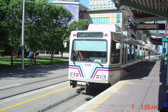
The transit system here is made up of three components. The C-Train is the system's light rail service. Bus Rapid Transit (BRT) serves future, planned light rail line routes, and local bus service makes up the rest.


The C-Train has two lines but acts like four lines converging on downtown...the Red and the Blue.

The Red Line reaches Tuscany in the northwest portion of the city, transits through downtown, then continues on to Somerset in the southeast section of the city. 

The Blue Line covers the other two points on the compass, coming from Saddletowne in the northeast to 69th Street in the southwest after going through downtown.

Each car on the C-Train has a dedicated door for wheelchairs/walkers/scooters. There is no designated spots on platforms where these doors line up with so you need to watch the train as it arrives to determine a) which door has the wheelchair symbol on it and b) where you need to go.

The accessible doors have a well-marked button that you press, which deploys a ramp so you can wheel in from the platform onto the train.

Both trains travel down 7th Avenue in downtown Calgary where they share eight stations from City Hall in the east to 8th Street in the west.


There are five BRT routes. BRT serves the airport but C-Train doesn't. Line 300 is the airport line, 301 comes in from North Pointe, 302 Comes from Cranston Avenue south of the city, 305 goes from Olympic Park in the west to Ellison Lake in the east, 306 travels from Westbrook Centre, just west of downtown, to Heritage Station south of town. All BRT lines, with the exception of 306, converge on the downtown corridor.


160 local bus lines reach the rest of the city.

All the buses are wheelchair accessible.

Local fare (in CDN) is $3.25.The airport line (300) is $10.00, which is basically a day pass since it is the same price and allows you access to all transit in Calgary. As stated, a day pass is $10.  The downtown zone on the C-Train between City Hall and Downtown West/Kerby is free.

Find more information here: Calgary Transit

Darryl Musick
Copyright 2017 - All Rights Reserved

Wednesday, November 14, 2012

TRANSIT REPORT: Denver, Colorado


Denver is a very large city surrounded by a patchwork of smaller towns, plains, and mountains.  It's transit system is actively growing and is not quite a mature system.  Some things work quite well, others are OK, and there are still patches where transit is not yet a viable option.

Public transit here is provided by the Denver Regional Transportation District (RTD) and is a mix of light rail and buses.


LIGHT RAIL - Currently, there are five lines that make up the light rail system.  It runs two lines to the south to Englewood and Littleton and terminates at two points to the north of downtown, 30th and Downing and Union Station at the western end of the 16th Street Mall.

Inside, the trains are clean, modern, and fast. For wheelchair users, there is a raised platform at the end of each station at the driver's end.  A manual ramp is deployed by the driver to allow chairs and strollers to board.  In this configuration, up to three wheelchairs or strollers can be on any given train.  The trains themselves have a much larger capacity.  Either 12 or 18 chairs/strollers can be on a train (depending on if it is a 2 or 3 car train) and if the platforms were built to train level instead of below it, more chair users could be accomodated. 

New lines under construction are also following the lower platform model the current stations have.

Chair users must tell the driver where they plan on exiting so the ramp can be deployed.  This seems like a missed opportunity in universal design and puts an extra burden on wheelchair users that the general public does not have.

Another egregious lapse in the system is that it does not serve the airport but a line is under construction and service to the airport is expected to begin in 2016. To the west, a new line to Golden that will get you close...but not quite...to the Coors brewery will open in 2013.

BUSES - The buses run by the RTD are like most cities in the U.S.  A lift or ramp is deployed from the front door and up to two wheelchairs can be accomodated in each bus.  Tie-downs are installed in each position.

The bus system covers a much larger area reaching towns in the nearby Rockies to the west; Boulder to the north; Denver International Aiport to the east, and the county line to the south.

16th STREET MALL FREE SHUTTLE - One of the stars of the transit system here is the shuttle that moves people back and forth along the mile long 16th Street Mall from Union Station on the west end to the Capitol Building on the east end.  Just about anything you want to do in downtown is within 3 blocks of this route.

The buses are electric/hybrids and have multiple entry doors like trains.  Wheelchairs enter via the second door where the driver can deploy a manual ramp.  It's an easy entrance into the two wheelchair locations and tie-downs are available.  Buses run every couple of minutes and are among the easiest I've seen for wheelchair entrance and exit.  They are also free.

SKYRIDE - RTD also operates a bus service to the airport via large buses that serve Englewood to the south, downtown, Broomfield to the north, and Lakewood to the west.  It also connects with several light rail stations.  Fares run $9, $11, or $13 each way.

Unless noted above, the basic fare on buses or light rail is $2.25 (disabled $1.10), which is in the high range for most transit systems. 

Day and multi-day passes are also available, which would make it a little more affordable for travelers, except that they're not available at the stations...you have to buy them at approved retailers such as Safeway.  This makes it pretty hard for a traveler to get one when they're in town.


-Darryl
Copyright 2011 - Darryl Musick
All Rights Reserved
Front Range Express provides accessible bus service between Denver and Colorado Springs for $11 each way.

Thursday, April 22, 2010

TRANSIT REPORT - LONDON, ENGLAND 2010

How about a new transit report? OK, here's London...
Picture courtesy of Wikimedia
Nevilley under CC-BY-SA license
You definitely do NOT want to drive in London.  The congested traffic is a nightmare and you will pay dearly for the privilege via the congestion charge.  It is much easier and cheaper in this very expensive city to go via a public transportation option.
The Underground. Commonly called the Tube, it is a subway system run by Transport for London. London invented the subway so naturally they have the world's largest system. If you're able bodied, it goes just about everywhere. If you're in a wheelchair, you can still get to a lot of destinations. Heathrow, Westminster, Tower of London, and Waterloo are just a few of the accessible destinations. Picadilly Circus and Hyde Park are a couple of examples where there is no accessible station.

Each station has a barrier-free map available, also available online, that shows all accessible stations.  Make sure you look at the back of the map,  page 2 of the link above, where each station's gap is listed.  "Mind the Gap" is a very famous warning given to Tube riders in each station.  It is the difference in height between the platform and the train's floor.  It can range anywhere from nothing to an impossible 12 inches, so study this part of the map too.  You can find a station with ramps or lifts all the way down to the platform and then be stuck because the gap is too large to overcome.

Full cash fares start at £4.00 (about $8 - told you it's expensive!) and go up to £10.80 for the longest journeys. A peak-time day pass goes for £7.20 to £18.00. If you can ride off-peak, it's £5.60 to £14.20. Either option will save you major cash. Passes are also good on the buses. 7-day passes are also available at approximately 3 times the peak day-pass cost.

There is no official way for disabled visitors to get a discount (you can apply for a Freedom Pass but the process seems way too cumbersome for a visitor) but, unnofficially, we've found that the attendants in the Tube stations will let wheelchair users through the turnstyles at no charge...your mileage may vary.
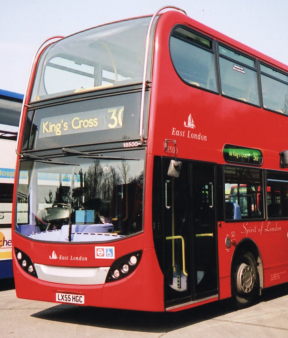
Buses.  Also run by TfL, the buses go everywhere and are completely accessible with the exception of two lines, 9 and 15, which are run as "heritage" lines with historic double deckers that are not accessible.  The modern double decker buses are accessible.  Wheelchairs enter through the back door which has a ramp that is only able to be deployed when the front door is closed (here are instructions).  Make sure the driver sees you, knows that you want to board, and then wait at the back door for the ramp.  The doors will close but that does not mean the driver is leaving you, the ramp will then be deployed.  There is a spot adjacent to the door where you need to move your chair to and sit backward against the board in the space.  There are no tie-downs like you'd see on American buses but the board keeps you from moving towards the front of the bus and a bar holds the side of your chair.

Fare is £2.00.  Disabled riders are free, however your companions must pay the fare.  Fare inspectors frequently show up on buses and demand immediate payment of the £50.00 fine if caught without the proper fare (if you truly do not have the money, policy is to give you 21 days to pay...your fine is cut in half if you pay within that time).
National Rail is the umbrella company that oversees the many train companies working in Britain.  Trains make it easy to visit other towns, such as Bath, for a day trip.  You can look up fares and timetables at that link.  One big hurdle for disabled passengers is that you need to give 24 hours notice for guaranteed assistance at the station.  Doesn't sound bad but we thought we had done that, only to find out in Bath that our notice was only good for the training going there, not coming back.  We were almost denied boarding.  This compares to only 30 minutes notice for trains in France, a much more accomodating system in my mind.
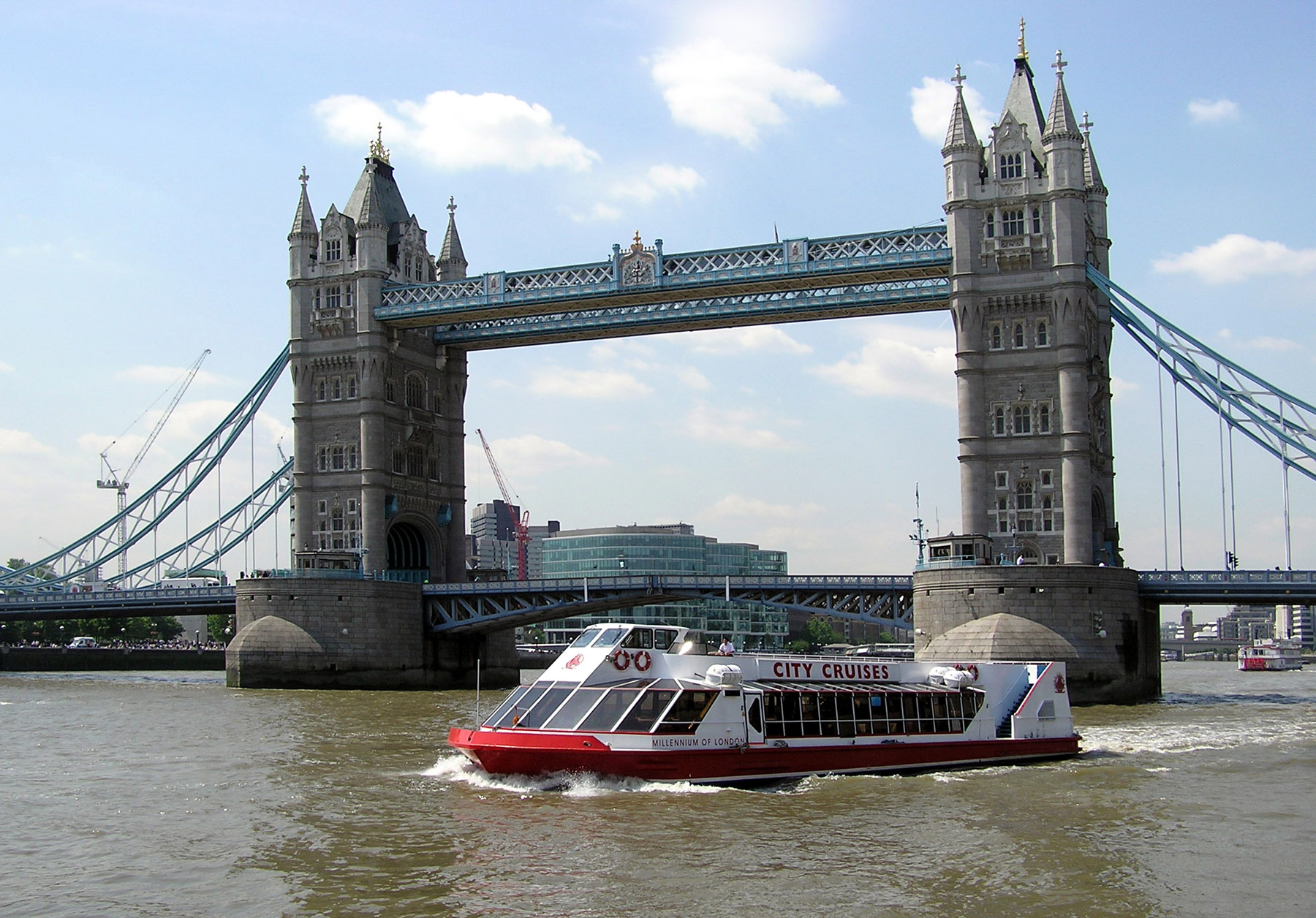
Water Taxi.  Accessible boats ply the River Thames for a more leisurely way to get about.  There are two main companies, Thames Clippers and Thames Executive Charters.  Click on the links for more information.
Picture courtesy of Wikimedia
Unisouth under CC-BY-SA license
Taxis.  The ultimate accessible way to get around, all London taxicabs are required to be wheelchair accessible.  Hail from any location in the city.  Expect to pay a lot.  A trip from the airport to our hotel in Chelsea cost the equivalent of $110.

-Darryl

Tuesday, October 9, 2012

TRANSIT REPORT - Seattle


Transit in Seattle got a huge boost when the Link light rail opened up to the SEA-TAC airport. No longer are wheelchairs at the mercy of taxi companies or have to find an accessible bus, this is a huge leap forward for visitors to the Emerald City.

The Link runs from Tukwila…just a bit north of the airport…to Westlake. That’s the downtown mall where the monorail runs from the Seattle Center (Space Needle).


When we went to Seattle in 2009, one of the things we noticed is that the transportation from the airport was OK, but could be a lot better…we saw the Link under construction and thought of how convenient that would be. Going back to the airport, this will be a godsend. I remember being left high and dry when the taxi I reserved to go back never showed up…I’ll be glad never to have to use them again.

We also went to a Mariners game and noticed the atrocious lack of public transportation from the stadium (there was limited train service during weekend games but none during the week). After the game, thousands of fans would be elbowing for a spot on the one bus that came by every 20 minutes or so to go back downtown (a transfer was also required). The Link service would be much nicer.


The Link joins the Sounder Commuter Rail service, which really only helps the rush-hour 
passengers, and the mostly excellent King Country Metro Transit bus service.


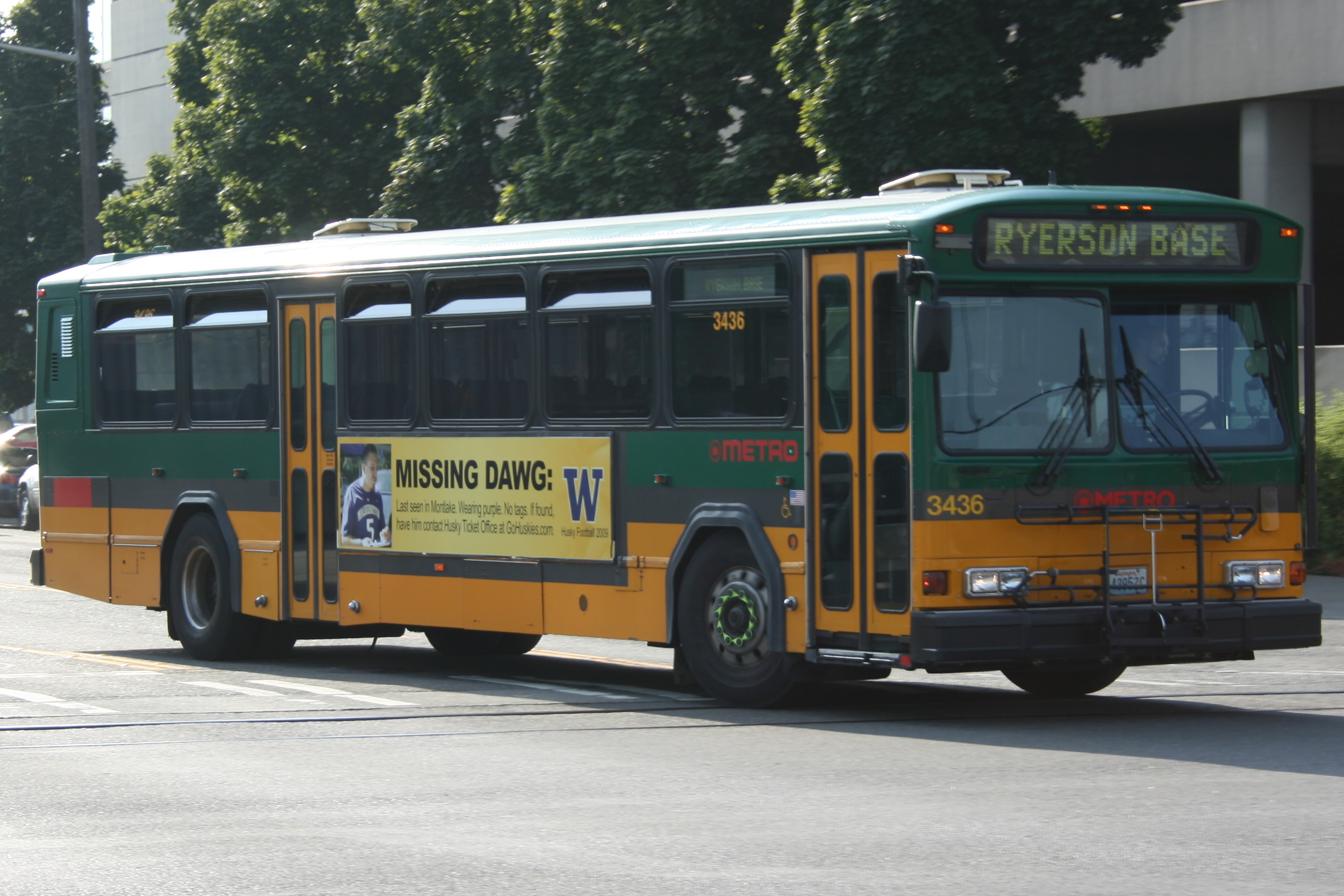
One thing we really liked about Seattle is that the Metro bus service went nearly everywhere, with multiple lines, frequent accessible service during the day, and some of the friendliest transit workers we’ve ever encountered. We took the power chair to Seattle and had virtually no problems getting around.

Another great feature of the Metro service is that trips beginning and ending in the downtown zone are free during the day.


Another unique transit option here are the Washington State Ferries that shuttle commuters along the Puget Sound to destinations like Bainbridge Island and even Victoria in British Columbia.


Seattle is famous for its monorail service, built in 1962 for the World’s Fair. It is still in service and is accessible but seems unreliable. After about 3 tries, we finally got to ride it but most of the time we were there it was broke down. One time, we saw the fire department evacuating the trains with ladder trucks due to another breakdown. I don’t recommend it at this time.

All services listed above are wheelchair accessible.

-Darryl
Pictures courtesy of Wikimedia
Atomic Taco under CC-SA license
Joe Mabel under CC-SA license
Klaus with K under CC-SA license


Wednesday, July 28, 2010

TRANSIT REPORT: Cleveland, Ohio

Picture Courtesy of Wikimedia
Hillrhpc under CC-BY-SA license

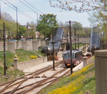
The main transit agency in Cleveland is the Greater Cleveland Regional Transit Authority (RTA). They run a system of buses, heavy rail, and light rail (trolley).
BUSES

Cleveland now runs a 100% wheelchair accessible bus system. The bus system covers most of the area. There is also a Bus Rapid Transit (BRT) that runs in its own dedicated lane from Windemere to Tower City called the HealthLine. This is similar to Kansas City’s MAX service.  You can get a route map here.
Picture courtesy of Wikimedia
Hillrhpc under CC-BY-SA license

The Red Line

The Red Line is Cleveland’s heavy rail system, think like a subway. It runs from the airport to Windemere, northeast of downtown. Only 12 of the line’s 18 stations are barrier free. Most of the inaccessible stations are located in the central part of the city. You can access Indians and Cavalier games from the Tower City station via an accessible walkway.
Picture courtesy of Wikimedia
Hillrhpc under CC-BY-SA license

Blue and Green Lines

Cleveland’s light rail system runs along the waterfront and can be used to visit the Browns’ stadium, the Flats (lots of dining options), and the Rock and Roll Hall of Fame. Both lines serve this area and, with the exception of the Amtrak stop, all waterfront stations are accessible. The Blue Line extends to Warrensville. Only the Shaker Square and Warrensville stations are accessible once the line goes east of Tower City. The Red Line culminates at the Green Station. Only that station and Shaker Square are accessible east of Tower City.

You can get a map of the rail system here.

Downtown Trolley

Two wheelchair accessible bus shuttle services serve the downtown area at 10 minute intervals between 7am and 7pm Monday through Friday. The service is free.

The fare for Cleveland’s transit options is $2.25 for the base fare. Disabled and seniors ride for a dollar.

-Darryl
Copyright 2010 - Darryl Musick

Wednesday, February 9, 2011

TRANSIT REPORT: Phoenix, Arizona

Picture courtesy of Wikimedia

Spend a few days in the Phoenix, Arizona area and one thing will be apparent…this place is huge!  What looks like it might be just down the street on a map can end up being twenty miles or more when you drive it.
This kind of sprawl makes public transit quite a challenge…a challenge that the Phoenix area is still trying, with various degrees of success, to meet.
Valley Metro is a conglomeration of various regional and city transit systems all working under one consolidated umbrella.  Mostly buses, a light rail component was added in 2008 running from Tempe/Mesa to north of downtown Phoenix.  It also serves the Sky Harbor Airport.


LIGHT RAIL – There are 27 stations on the route.  An airport shuttle will transport you to the nearby station there.  It mainly travels down the center of streets so it’s more like a street car in some respects.  An extension to the Metrocenter Mall, north of downtown Phoenix is under construction.
Picture courtesy of Flickr

LINK – This is a rapid-bus system that uses long, articulated buses on very limited stop service.  Buses have stoplight override capabilities and the stops themselves have “next bus arriving in” signs letting you know how long until the next bus shows up. 
LINK runs from Gilbert and Mesa in the east and from Chandler in the south to the Sycamore/Main St. Transit Center at the eastern edge of Tempe.  Click here for a route map and brochure of the LINK system.
BUS – Local, express, and limited stop bus services makes up service to the rest of the more than 2,000 square miles of the metropolitan area.  Express routes have route numbers in the 500’s. 
Click here for a route map of the system.
Fares are $1.75 for local buses and light rail.  $2.75 for express bus services.  A day pass is $3.50 if you buy before you get on board, $5.25 if you don’t.  Disabled passengers pay $.85 for local and light rail, $1.75 for a day pass.
All Metro services are accessible for wheelchairs and other disabilities.  For more information, visit valleymetro.org.


Picture courtesy of Wikimedia