

McCloud is famous for it's very clean and pure drinking water. The town relies on three springs and pumps the water from it's reservoir to residents' taps with no treatment, only occasionally treating when tests reveal something that needs it.
This water comes from the mountain, Mt. Shasta, that looms over everything here. It gets a ton of snow each winter and the volcanic soil filters the meltwater that eventually comes out very pure in the area's springs.
Today, we're going to visit some of the features of this water in the area.

Just a few minutes out of town is the McCloud River. Our first stop is Lower McCloud Falls.
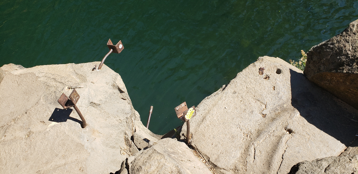
This is also a popular place as a well-known swimming hole for the town although no one was swimming the day we were there. It doesn't help that the Forest Service removed the steel ladder that the locals would use to climb back on top of the rock after jumping off the 20 foot or so cliffs surrounding the pool.

There were a few fishermen trying their luck.
It's an easy sight to see, only about 100 feet from the parking lot where wheelchairs can easily access the viewing areas above the falls.
If there's a lower falls, there must be an upper falls but, first, is the middle falls. About a mile away, it's a slightly longer but still flat and accessible hike to the viewing platform for the Middle Falls of the McCloud River.

These are a bit prettier, with a bit of a bridalviel effect, and a couple of swimmers. The viewing platform is a little farther away from the water than the first one but still offers great scenery of the cararact.
Finally, on this loop, we get to the Upper Falls of the McCloud river.

These are the tallest of the three and the hardest to get to. The viewing platforms are about the same getting to from the parking lot as the middle falls are but the angle makes it a bit harder to see the falls.

Still, we find a spot where Tim can get a look. This is also the deepest canyon of the three so, if you wanted to hike down, it quite a ways, steep, and not wheelchair accessible.
Our final water spot for the day would take us over to Mt. Shasta. No, not the giant mountain looming over us at every moment of this trip but the town of the same name on the western slope of the mountain.
The Sacramento River is the largest river in California (the Colorado is bigger but is shared with other states and Mexico). One of the sources of that river is here in Mt. Shasta.
We drive through town to the City Park at the northern outskirts. As a reviewer on Tripadvisor said, it's "hippies as far as the eye can see." Many homemade campers house free spirits in this park.
We find handicapped parking at the visitor's center and follow a sign that says "Headwaters - 150ft."

At the end of the short trail is a jumble of rocks where thousands of gallons of water come rushing out of the ground. These are the headwaters (well one of them, anyway) of the Sacramento River.

Glacier melt on Mt. Shasta percolates through the porous volcanic rock. After an estimated journey of 50 years, the water emerges at this spring. It is exceptionally clear and pure water.

People come from all over the world to fill containers with this water the moment it emerges out of the rocks. We fill a few bottles ourselves and it is really good water.

Back in McCloud, we have some wings with one last dinner at the Axe and Rose Pub. We'll call it a night, relax in our nice suite at the McCloud Mercantile Hotel, and then head home in the morning.
Darryl Musick
Copyright 2022 - All Rights Reserved


